North American Maps for Curious Minds: 100 New Ways to See the Continent
Series Maps for Curious Minds By Matthew Bucklan, Victor Cizek
Illustrators
Illustrated by Jack Dunnington
Edition
Series Maps for Curious Minds By Matthew Bucklan, Victor Cizek
Hardcover edition
Publisher Experiment Publishing Imprint The Experiment ISBN9781615197484
North American Maps for Curious Minds: 100 New Ways to See the Continent
 17.85
17.85
Sold Out
SKU
9781615197484J
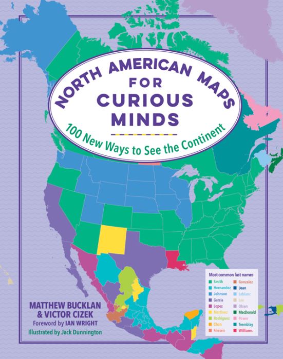
The Maps for Curious Minds series is back—with 100 vivid infographic maps that transform the way we understand the cultural and geographical wonders of North America.
,br>
No matter how well you think you know North America, the 100 infographic maps in this singular atlas uncover a trove of fresh wonders that make the continent seem like the center of the universe. Did you know that North America is where the first T. rex was found? Or that it’s where you can visit the world’s biggest geode as well as its oldest, tallest, and largest trees—not to mention the world’s tallest and steepest roller coasters?! Brimming with fascinating insight (Who is the highest-paid public employee in each state?) and whimsical discovery (Where can you visit the world’s largest island in a lake on an island in a lake on an island?), this book highlights the unexpected contours of geography, history, nature, politics, and culture, revealing new ways to see North America—and the hundreds of millions who call it home.
Foreword by Ian Wright. Sources. Full-color maps and infographics.
|
K Standard MARC Records Cover Art |
High-Interest Nonfiction Middle Plus (Grades 5-8)
High-Interest Nonfiction Middle Plus
High-Interest Nonfiction Middle Plus (Grades 5-8)
For Grades 5-8
This collection features high-interest nonfiction titles selected to spark curiosity and invite exploration. Selections cover a range of compelling real-world topics, including history, science, and biography, through visually rich presentation and accessible, story-driven approaches designed to encourage browsing, discovery, and conversation, as well as sustained reading.
14 books per Year
$308.00 per Year
Interests
Nonfiction, Biographies, STEAM, History, Reluctant Readers, Adventure, Pop Culture
Other books in the series
-
 Wild Maps for Curious Minds: 100 New Ways to See the Natural World
High-Interest Nonfiction Middle Plus
December 2022
21.6
-
 The 1960s | Maps for Curious Minds: 100 New Ways to See a Turbulent Decade
Adult Crossover Nonfiction Plus
October 2025
22.09